October 9 to 12, 2015
Way back in April of this year it was pretty clear that it was going to be busy. The calendar was filling very rapidly, so we decided that we would take a two week break during October and get away from it all. Accordingly, the two weeks from Friday October 9 to Friday October 23 were blanked off and no new appointments allowed. We had not decided where to go—that decision could be made at any time prior to Thursday October 8. Eventually we decided to spend a couple of days visiting friends living in Howlong, just over the Murray River in New South Wales. That led us to think of then having a look at Khancoban, a place we had never visited before. So we booked a couple of days at Rose Holiday Cottages in Khancoban, with the option of staying longer if the weather, the area, the accommodation etc appealed to us. Within minutes of arriving, we decided to extend the booking for a further two nights.
I shall not dwell on Howlong too much, as I have previously written a sketch of that small town, and nothing much has changes since our last visit. Suffice to say that we enjoyed every minute of the time we spent with our friends Les and Eddie, and their delightful grandchildren.
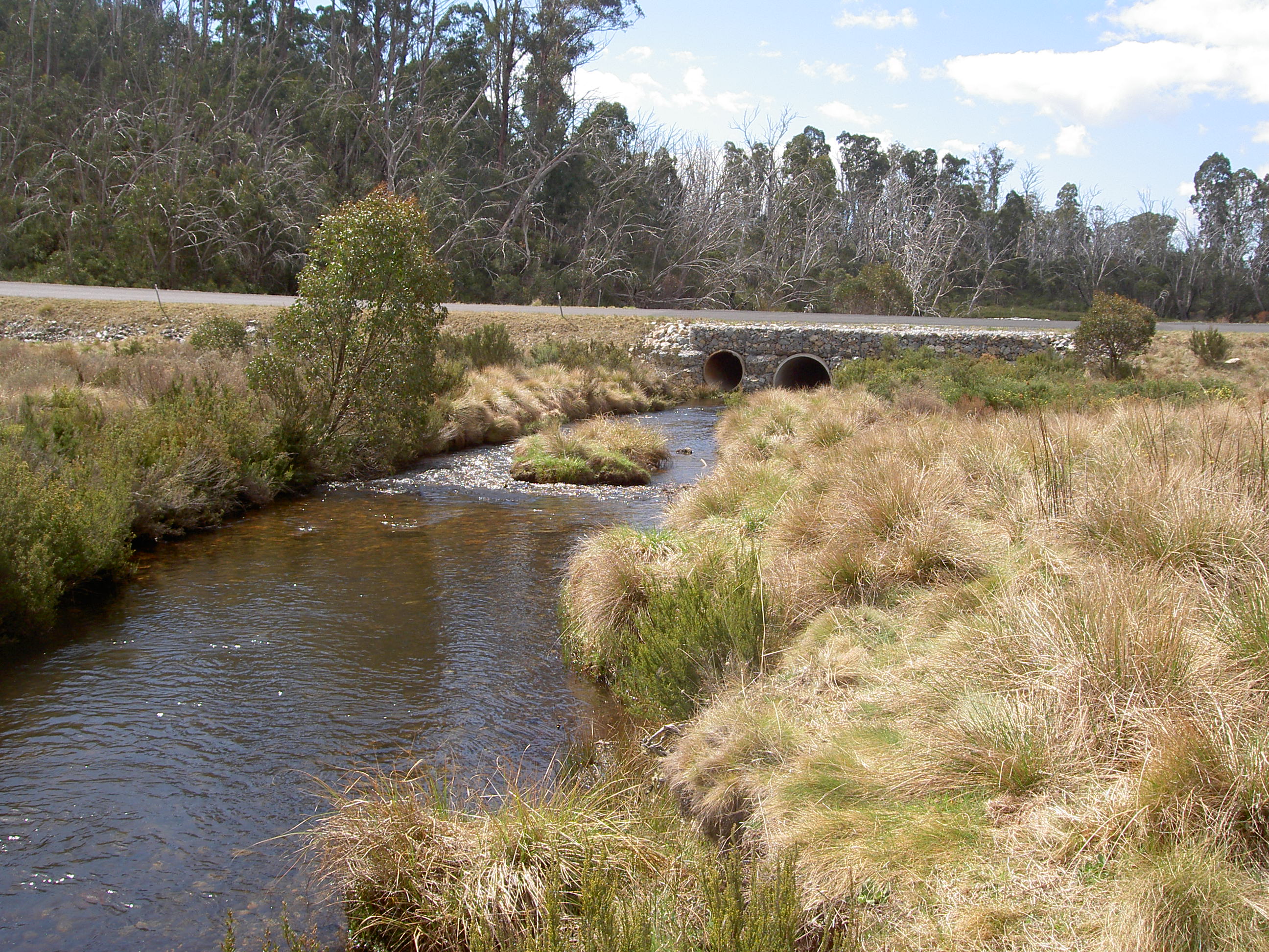
We then took the opportunity of visiting another friend, Lorraine, who lives just outside Albury. It was great to catch up, and enjoy lunch with her, before moving on toward Corryong (in Victoria) and then to Khancoban (just over the Murray River in NSW). It was easy to follow road signs to Corryong, until it disappeared from the signs at a fork in the road, leaving it as a matter of chance whether we took the right one. As it happened, it would have made no difference, as both directions eventually led back to the same road where Corryong was once again on the signposts. But taking the left-hand alternative was certainly a very picturesque route and we discovered a ferry that crossed one of the arms of the Hume dam, which we had never even heard of.
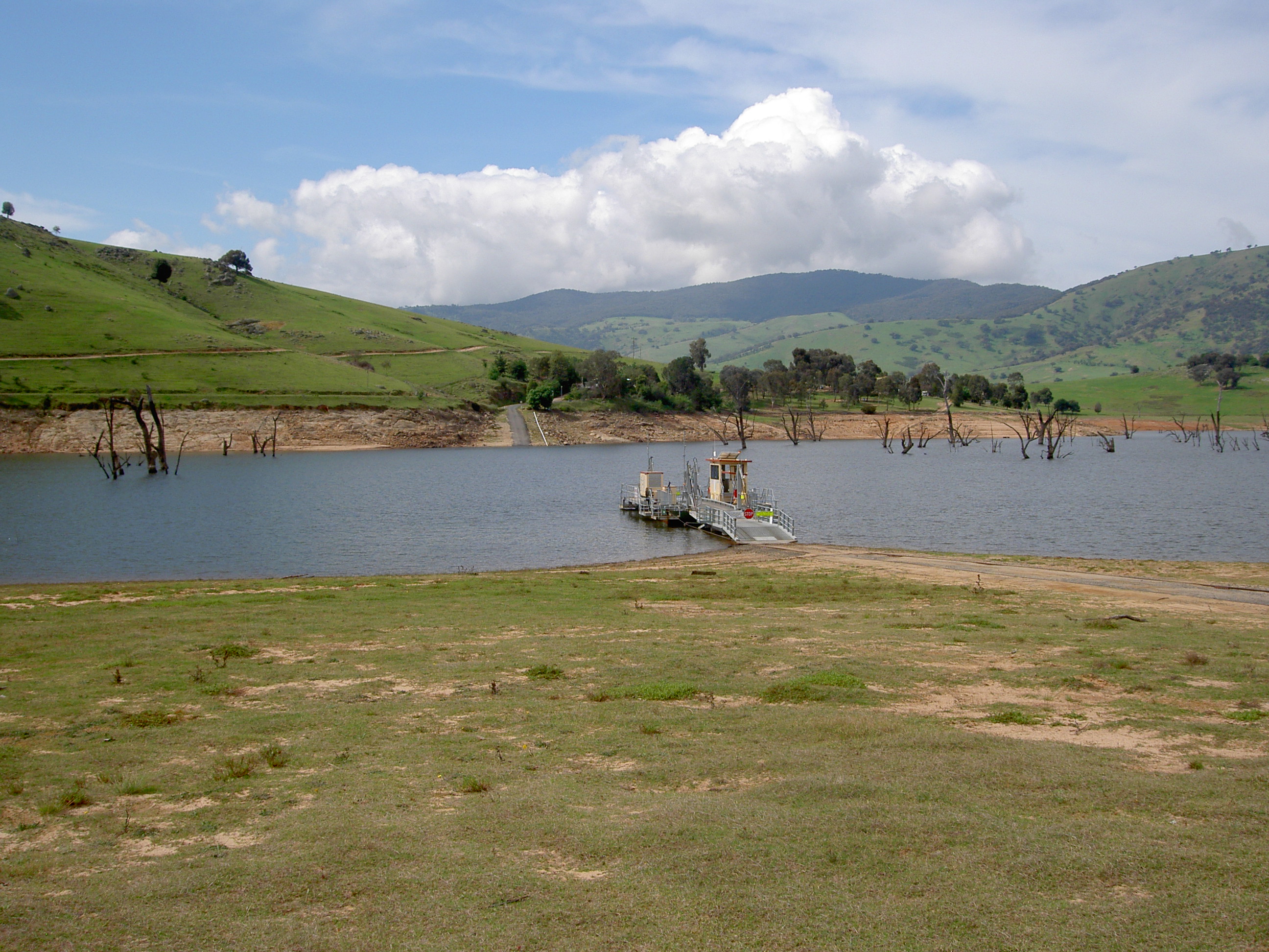
The ferry is pulled across the water by means of a couple of stout cables, and is driven by a very cheerful chap who lives nearby. Fortunately a car had just crossed from the other side, so the ferry was on our bank, and the ferryman was very willing to have a chat and tell us all about it. It would be a very quiet life, as he told us that some days he only gets a couple of cars, and at peak times he could get as many as a dozen! He fills his day with fishing, reading, bird watching and other similar activities, as he is on duty all day. If you like peace and serenity in a very picturesque spot, being this ferryman would be a very pleasant!
The rest of the drive was through very pretty countryside, sometimes following the shore of the dam, sometimes winding over hills; through a few very small settlements, and eventually reaching Corryong. Being Sunday, out of season, we saw no more cars than the ferryman saw! In the entire journey since leaving our friend’s place, we overtook no-one, and no-one overtook us. We saw no more than four vehicles traveling in the opposite direction, and even the town of Corryong was pretty well deserted! We then completed the final 30 or so kilometres to Khancoban, again without seeing another vehicle!
Arrived at Khancoban, we had no difficulty locating our accommodation, and our host, Lionel, was quite happy to point out the best places for fishing—but he warned that we were really too early for dry fly fishing, as the rivers were still pretty high with melting snow, and the insect life was still pretty inactive. But we soon settled in to our cottage, and then went straight along to the Khancoban dam wall, where we were in time to witness a chap land a very nice brown trout (that he had caught on worms). Khancoban is a relic of the construction of the Snowy Mountain Hydro Scheme, and at one time had a population of the order of 9,000. Following completion of the construction phase, the town pretty much went to wrack and ruin, and many of the dwellings and accommodation blocks were simply abandoned. But it had a lot to offer in the way of tourism, and with a population now of about 250, has re-invented itself as a centre for fishing, bushwalking and exploring the Snowy Mountains. It is too far from the ski slopes to be much of a winter destination, but is apparently very busy during the summer. At this time (October) it is very quiet, and beautifully green and clean.
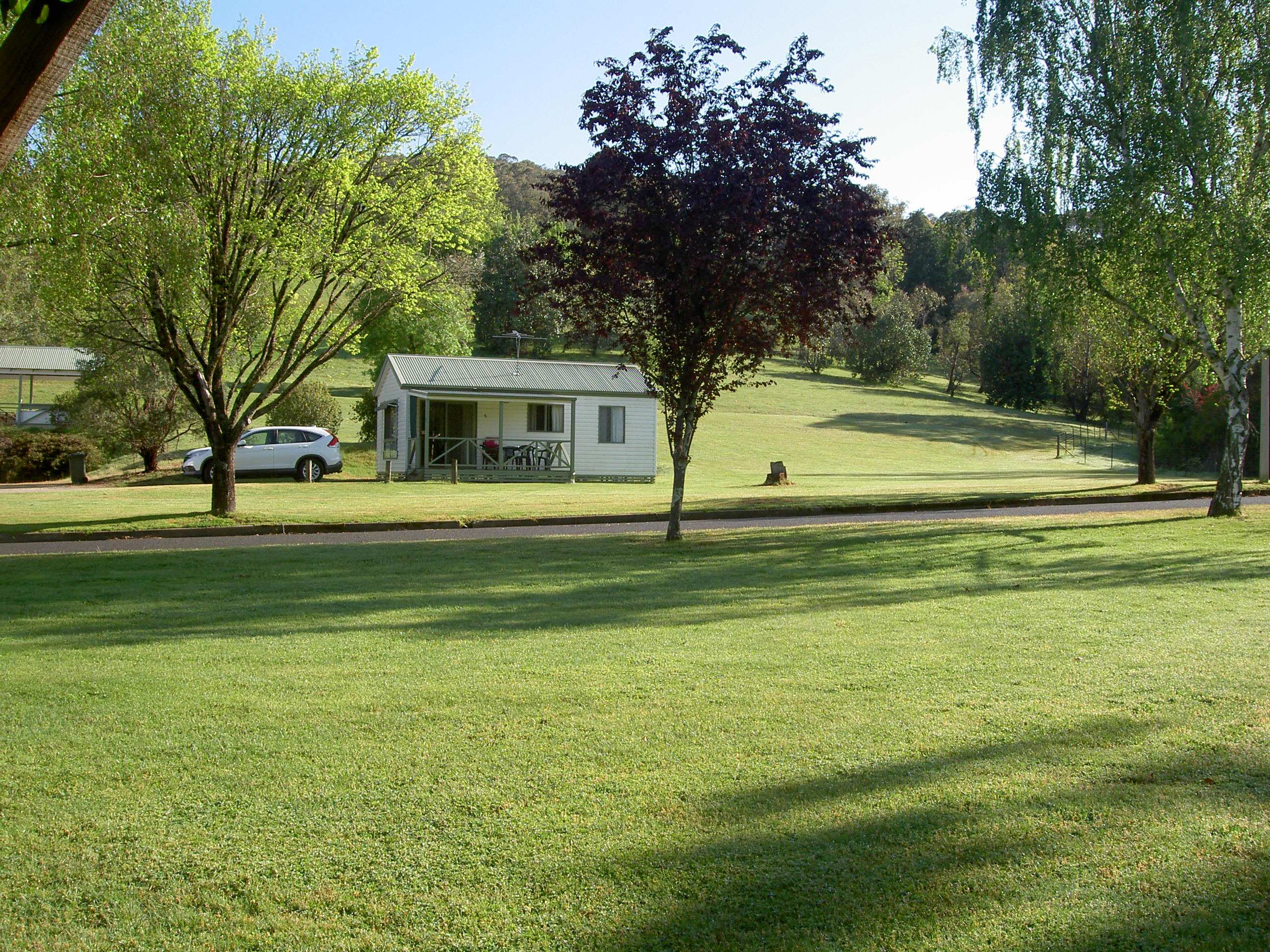
Our accommodation was called Khancoban Rose Holiday Units, because it is directly opposite a very nicely laid out rose garden, developed in memory of Lady Eileen Hudson, who was very active in the promotion of gardens around the town during the construction phase. Her husband (Sir William Hudson) was chief commissioner for the project through the 1950s. The gardens of the dwellings are all well maintained, but we were a bit too early for the roses.
Another factor affecting Khancoban is the trend for Canberrans to buy up any house that comes onto the market as a week-ender or holiday home. Whilst they look after their newly acquired property, they tend to bring their groceries and grog with them from Canberra, rather than patronise the local shops, which is putting them under a great deal of pressure. This trend also hit many English villages when the aspirational Londoners started buying village properties for week-enders, but not patronising the local village shops.
Dinner on the first night was at the only café in the town that was open, and comprised a reasonable pizza and bottle of red wine, both of which went down very well after the longish drive to get there.
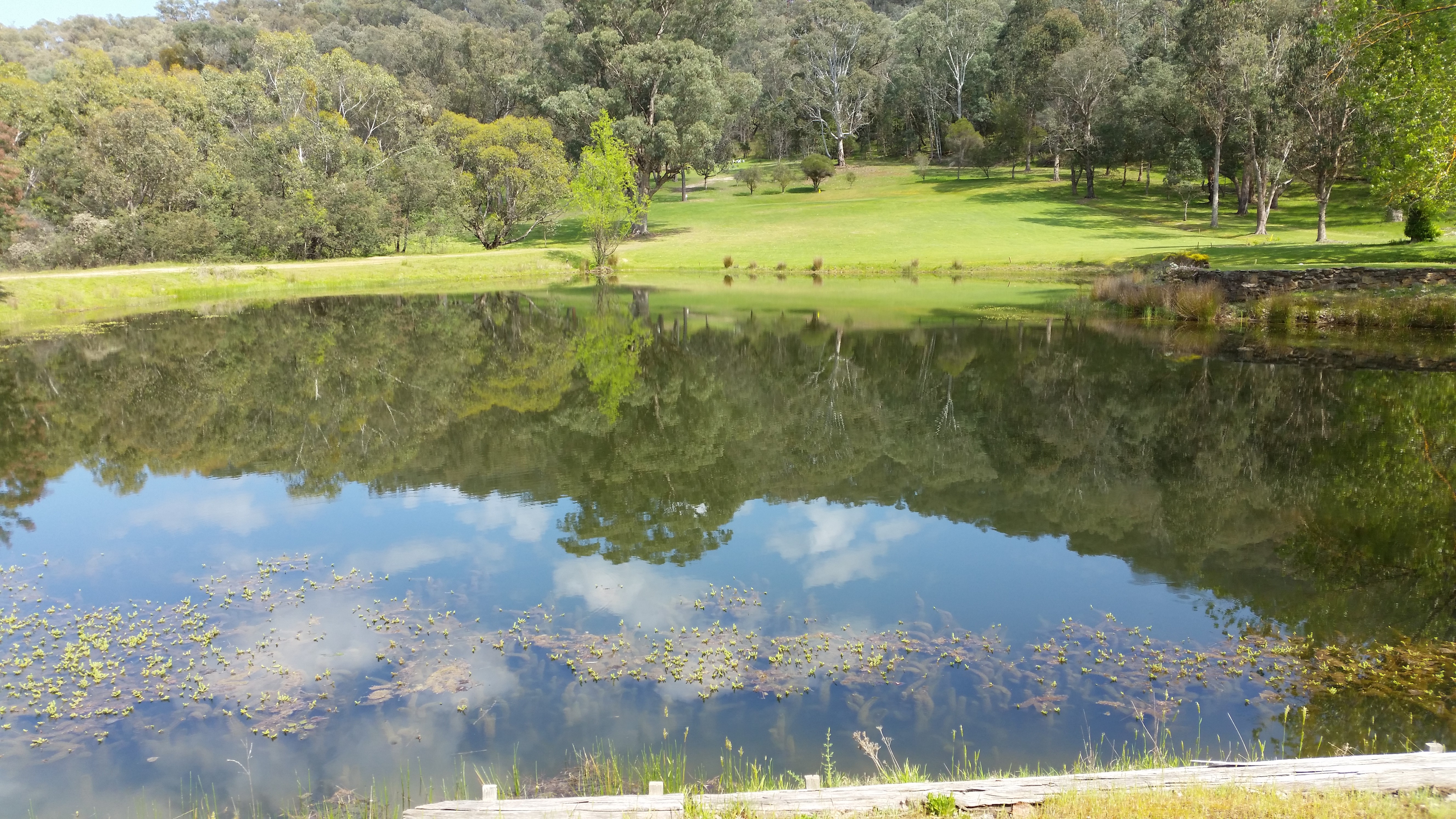
Monday morning found me on the golf course, which, for the size of the town, is a great little 9-hole course, with just about every hole having great views of the surrounding mountains.
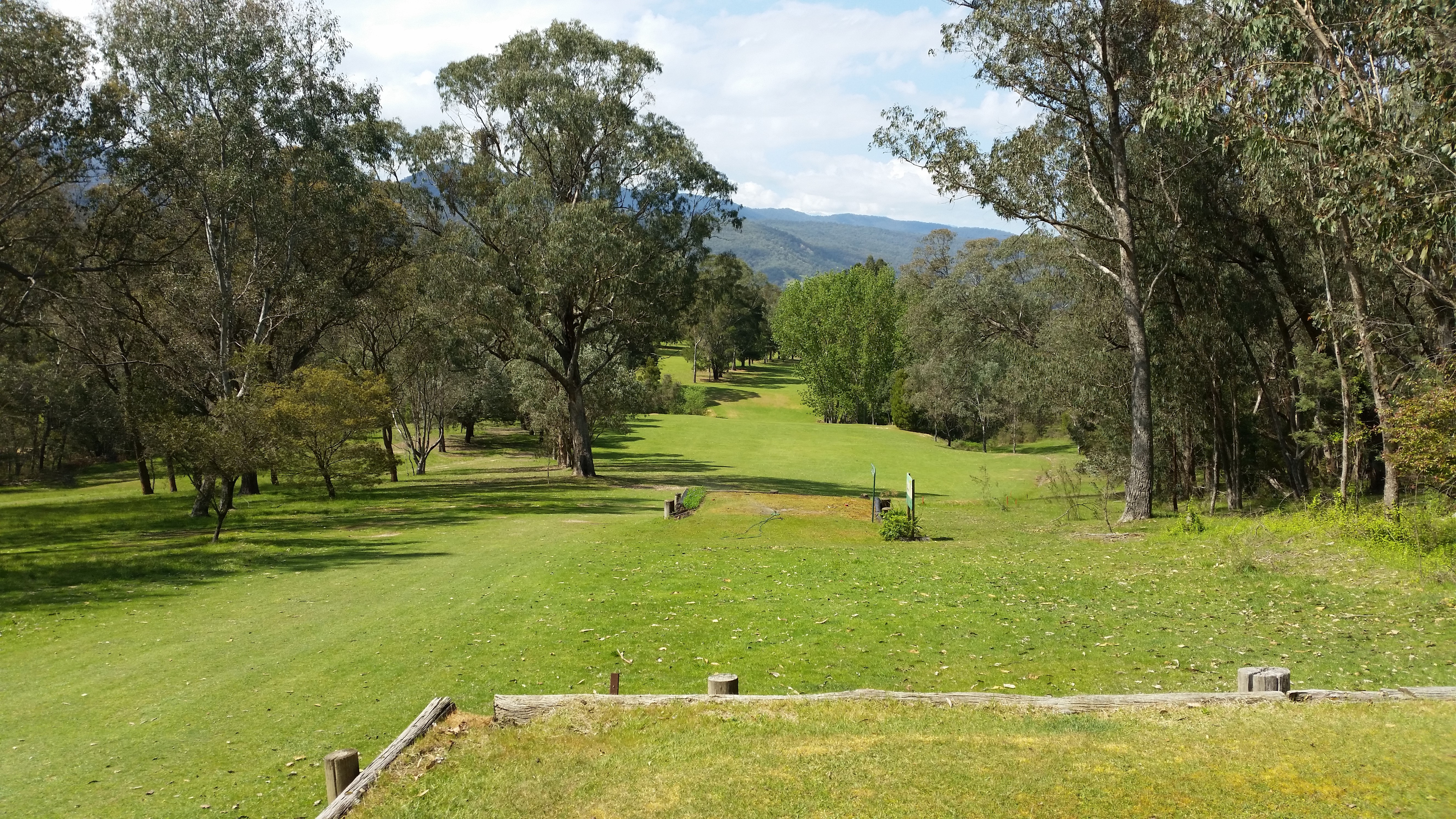
It is maintained wholly by volunteer workers, and is the only course in the area that has grass greens (all the rest, including the much larger Corryong, have sand scrapes). I put my $25 (20 for green fees and 5 for the buggy) into the honesty box and headed for the first. I got off to a pretty ropey start, but soon got the swing going, and caught up with another golfer on the 4th tee.
He was sitting chatting with one of the volunteers, and they invited me to play through—just so they could watch me hit across the 160m of water between the tee and the green; there is very little fairway on this hole!
Fortunately I hit a good one, whereupon the other golfer decided we should play together. His name was John, and he was a retired engineer, who had worked in the UK as well as Australia, and he made a very companionable playing partner. It transpired he was also an avid dry-fly fisher, so it made for a very enjoyable round as he gave me many more tips about the good places to fish—and like Lionel, stressing that it was still too early to expect much success.
After some very enjoyable golf, it was time to find one of the good fishing spots I had learned about, so we took off on the 30 minute drive to the Geehi camping ground on the road to Jindabyne. The road (the Alpine Way), is winding, but very good; but be careful of the rocks that have fallen from the sides of the many cuttings. Also be on the look-out for the wombats and many birds that seem to like ‘playing chicken’. On the way we detoured into Scammel’s Lookout, which gives a spectacular view of the ranges, many with traces of snow still visible. The Geehi camping ground is beautiful, and stretches along the bank of the Swampy Plains River. There are no facilities other than a few long-drop toilets; and at this time of the year, it is sparely inhabited. However, we did meet a couple of campers who not only live in Blackburn, but they are members of our U3A! It is a small world when you are travelling. The river is very fishable, but as advised by golfer John, it was a bit deep and cold. Accordingly I was unsuccessful, partly because in my hurry to get to the river, I had left my long-distance glasses in the cabin, and had great difficulty seeing the fly on the water. I did have one small strike, but was too slow to hook the fish.
Tuesday October 13, and we decided to drive to Cabramurra, the highest permanent town in Australia. The Cabramurra road leaves the Corryong-Khancoban Road some 10 km from Khancoban, and for the first 20K or so is straight, climbing slowly and following the power lines carrying the hydro-electric power. The countryside was very green and pretty. Then the road became more winding and it was not long before we came across a sign warning of road works ahead, and ‘prepare to stop’. We had not seen another vehicle, so were surprised when rounding a bend, finding a park ranger sitting beside the road with his stop/go lollipop turned with the ‘stop’ facing us. So we did, and the ranger came to the car, wished us good day, and we had a long chat about the Snowy Hyrdro Scheme; how it was a good job it was built when it was, as the greenies would never allow it to be built today; how it took two years to get permission to build a new picnic area with a long-drop toilet; and how the same people who complain about carbon emissions from coal powered generators also try to stop the construction of wind-farms. By this time, a second car had stopped behind us and the ranger thought he had better find out whether it was safe for us to proceed. He switched his radio and mumbled something into it. There were crackles intermingled with some unintelligible sounds of a human voice, whereupon with a deft flick of the wrist, the lollipop rotated 180 degrees to display the ‘slow’ side, and we were on our way again. Around a couple of bends we came across three or four rangers armed with chain saws and equipment for moving logs off the road. Then came another lollipop person, this time a young lady, with her lollipop indicating we could proceed slowly. In all this time, some 15 minutes, the only other vehicle we saw, was the one behind us! And so we proceeded on our way to Cabramurra. Originally founded during the construction phase of the Snowy Project, it was relocated in 1995 to its current site, 1468 metres above sea level.
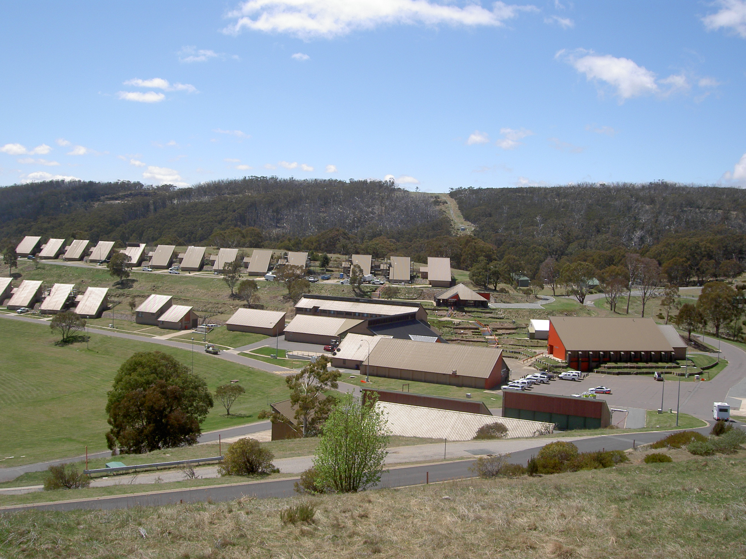
All the buildings have been designed with very steep roofs so that the snow slides off; and it is a very self-contained town with a community centre, shopping centre, café, and even a scout hut and picnic facilities. But, the only residents allowed to live there are employees of the Snowy Project, so it is a strictly ‘company town’. The views around the area are spectacular, but quite eerie, as the whole area for miles around was burned out in 2003, and there are the white, dead remains of countless snow-gums sticking up above the newer growth. The fires came to within a hundred metres of the town, and it must have been very frightening, as there is but one road out of the area. So, there is not a lot at Cabramurra, but it is worth a visit if you are in this part of the world. The road up from Khancoban is very good, and it takes no more than an hour to get there.
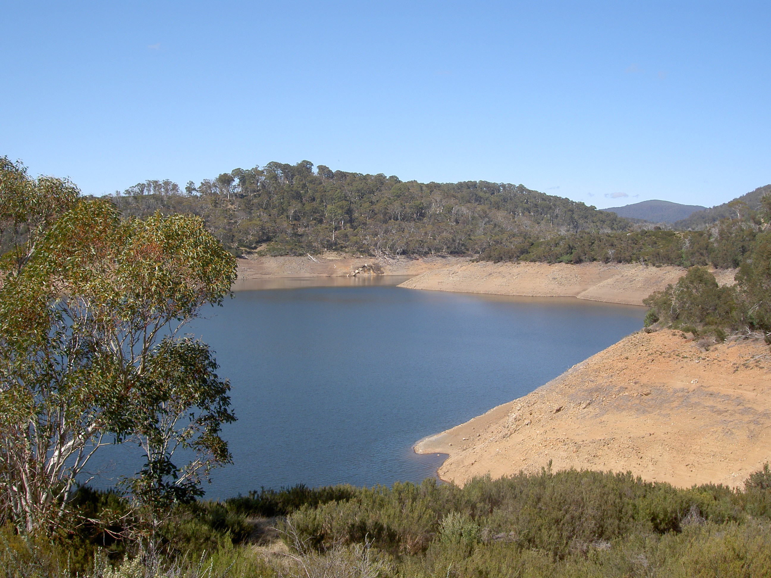
There are a couple of major dams on the way up, which look spectacular from the road, but access to which appears to be very limited. The water in these dams rises and falls according to the demands for electricity, and there are signs warning not to park to close to the shore—but we could not even find a road or track that goes anywhere near the water!
Out the other side of Cabramurra, it is not that far to Cooma.
On the way back, we stopped at a picnic ground on the banks of the Olivier Creek for a picnic lunch. The creek is a very pretty little steam that looked as though it would be full of trout—but if there were any, they were not as hungry as we were.
But the other interesting thing about this picnic ground was the number of very small ants. Fortunately they bit no more than the trout did, as ones legs became black with them within seconds of getting out of the car. No matter where one stood, the ants were there, so we ate our picnic sitting high on the picnic table!
Returned to our cabin, we discovered we had two new neighbours, none other than two Highway Patrol Officers, complete with their brightly marked Highway Patrol cars. Neatly parked side by side, the cars looked very impressive. Not so their drivers, who having finished the day’s shift, sat in rather tatty tee-shirts and baggy shorts, looking nothing like officers of the NSW law!
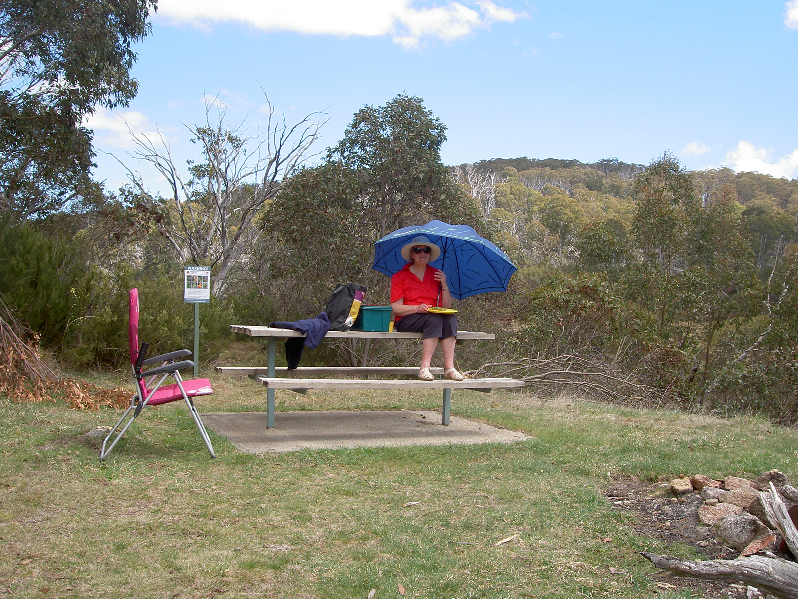
Wednesday was again a beautiful day, so another round of golf for me, whilst Ann did some painting. Later in the day, some more unsuccessful fishing and it was time to repair to the local pub for dinner, which was in fact, very nice!
Thursday morning we were on our way through the mountains toward Thredbo and Jindabyne, when rounding a slight bend in the road at about 75 km per hour, in a 60km zone, we spotted one of our neighbours from the cabins parked beside the road. We would not know whether Ann slowed quickly enough to avoid a fine until we got home; but nothing could be done at the time, so we continued on our merry way. Somewhere near Thredbo, we came to a delightful stopping spot, with a lovely cascading stream. We stopped to have a look and to stretch our legs, and within seconds, just as the ants had swarmed up our legs at the spot near Cabramurra, so a Park Ranger swarmed around the car to check whether we had purchased a permit to enter the National Park. I explained that as we were just passing through on our way to the coast, we had not realised we needed a permit. However, the Ranger explained that no, we did not need a permit to pass through, but because we had stopped and taken a photograph of the mountains in the park, that is to say, we had ‘used the park facilities’, we did actually need a permit. But he was very nice about it, and let us off with a warning. So beware, if you are ever driving from Khancoban to Jindabyne through the Kosciusko National Park, don’t stop unless you have a permit to do so! Needless to say, we did not stop for a coffee at Thredbo, which had been our original intention, as we would certainly have needed to purchase the permit. So we continued on our way to Jindabyne, which is outside the Park boundaries, where we not only bought coffee and a couple of muffins, but also a hat for me, a bag for Ann and several postcards—Thredbo’s loss, and Jindabyne’s gain.
Leaving Jindabyne, we meant to take the Barry Way through Delegate and on to near Bombala. But we were on our way to Cooma before I realised we were on the wrong road. So, a U-Turn back to Jindabyne, and off on the Barry Way, ignoring illuminated signs warning that the bridge at Delegate was closed, because I thought that October 15 was yet to come, rather than realising it was already October 15. So, after 30K, we reached the totally closed bridge, and had no option other than return the 30K back to Jindabyne and head off on the original road for Cooma. The road is very pleasant, as it wends its way across the high plains, with massive outcrops of rocks, presumably exposed as the top-soil has been washed or blown away over the millennia. Then, down the spectacular Brown Mountain road, to the coastal plains and on to our destination, Pambula Beach, stopping only to buy some prawns and oysters from Wheelers.
If you are interested in reading more about Pambula and Merimbula, then you could do worse than skim through the archives of my blog site and have a look there at previous posts!
I hope you have enjoyed this new post. We certainly enjoyed our time exploring this, for us, new area.

Loved the blog, Brian. I do hope that one day I may be able to do that trip. Graham and I drove the Barry Way one year and on reaching our destination the locals , with intake of breath, said “You came up the Barry Way” Beautiful drive but needs much care! Jill B